My visit to the Amazon’s largest and most contradictory city.

City of Manaus. Dennis Jarvis. CC BY-SA 2.0
My first guide in Manaus explained that when people think about a city in the middle of the Amazon, they expect the city to be wild and see snakes crossing the streets. The reality of the Amazon’s largest city, located in Brazil’s Amazonas Province, is completely different. This past May I spent one of the most memorable weeks of my life in this province. During that time, I did go deep into the Amazon, where I saw a tree Boa, a large snake. But, I also visited a beautiful pink opera house, a fish market, antique bookstores, fancy restaurants, the Presidente Figueiredo Waterfalls, and even the Ponta Negra Beach, which was lined with tall buildings that seemed to be hotels, just like any beach town you’d find in the US.
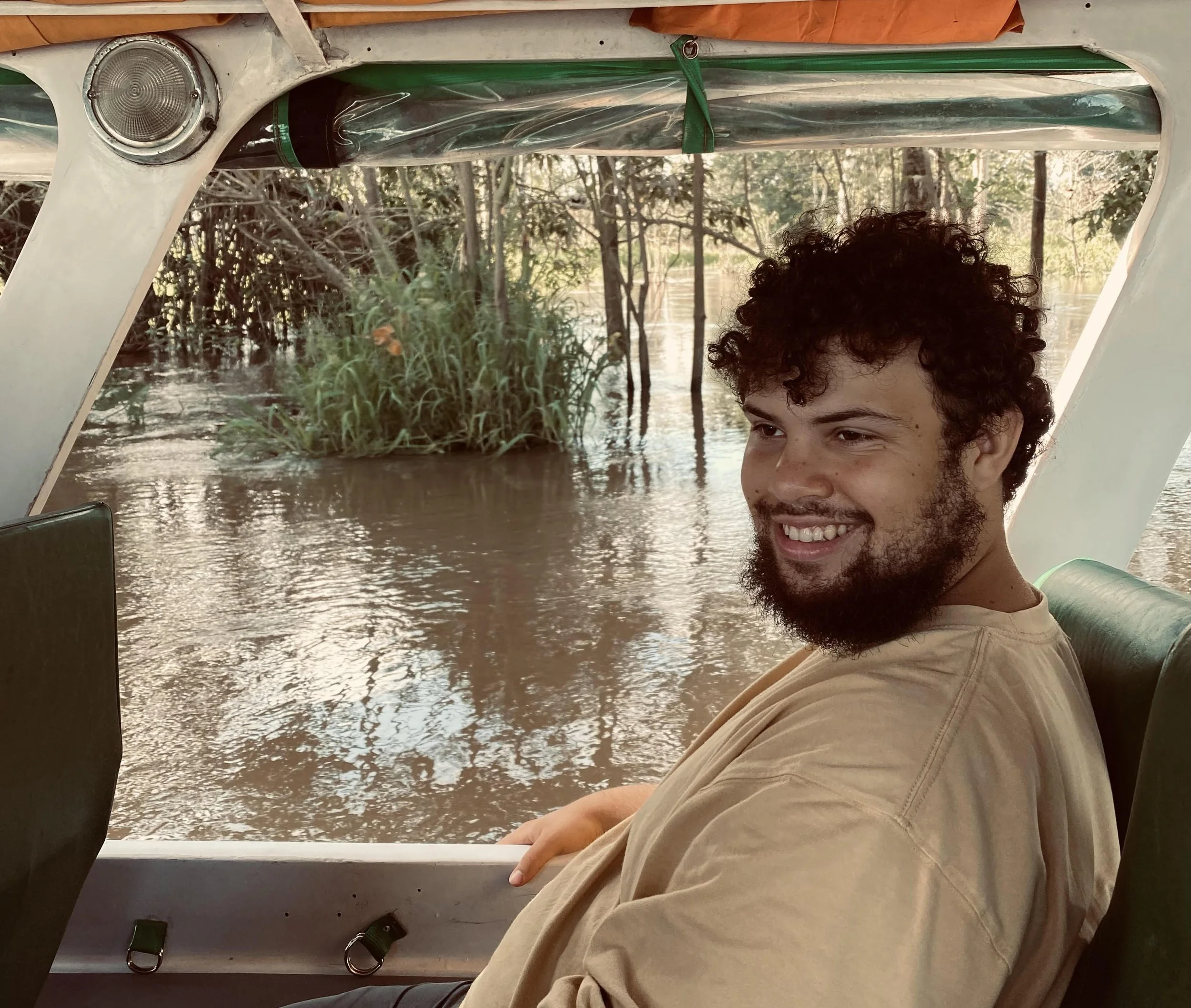
Me, in the Amazon outside of Manaus. Jeremy Giles
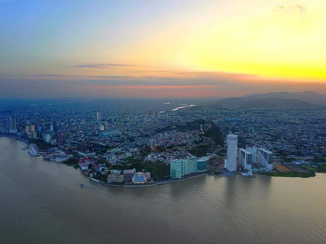
This city of over two million people borders both the Rio Negro and the Amazon River, and is the access point to reach many communities deeper within the Amazon jungle. It is also one of Brazil’s largest industrial centers, including businesses that have nothing to do with the rainforest it borders. In my experience, Manaus is a city unlike any other, and thrives off defying expectations.
The History
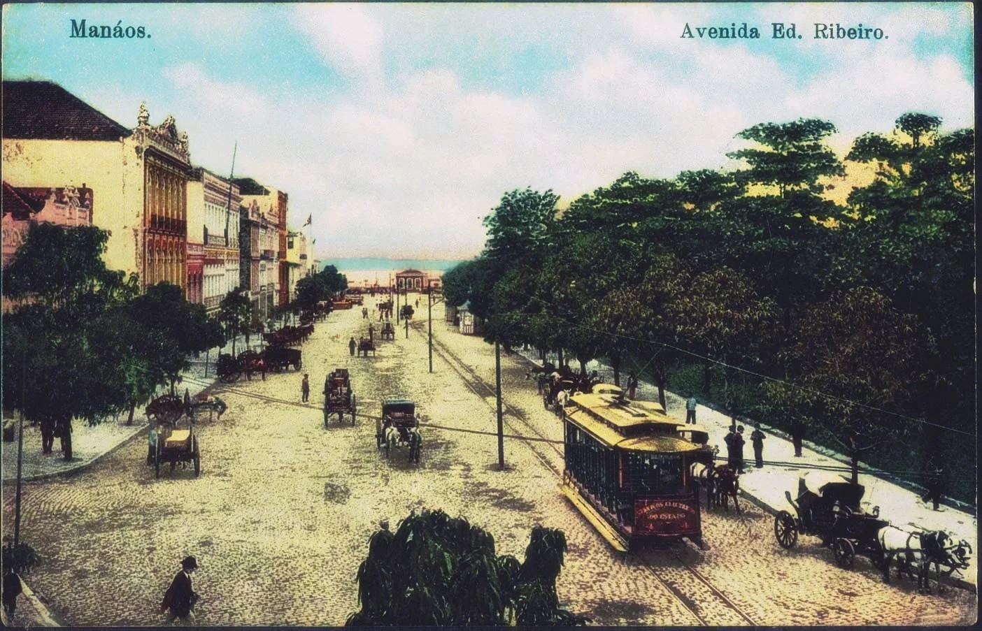
Manáos, Eduardo Ribeiro Avenue in 1909. National Library of Brazil, public domain.
Manaus was originally founded in 1669 as a Portuguese fort. By 1832, the fort grew into a town, and received its modern name, Manaus, meaning “mother of the gods,” from the indigenous Manaós tribe. Only 16 years later Manaus expanded into a city. Two years after that, it was officially declared the capital of the Amazonas province.
After the invention of cars in the late 1800s, Manaus became the center of the rubber boom due to the almost complete South American monopoly of rubber trees, which are native to the Amazon basin. This completely changed the city, as it became viewed as the gateway to the Amazon, and became home to many incredibly wealthy rubber barons. These ridiculously rich families had more money than things to spend it on, and began to focus on architecture, shipping materials all the way from Europe to build huge beautiful masterpieces, many of which still exist today.
By the early to mid 1900s the rubber boom had almost completely left Brazil, being replaced by rubber trees brought to Southeast Asia. This spelled financial ruin for Manaus, which sank into desperation. This poverty continued until 1967, when Manaus was named a duty free zone, making it cheap for companies to move there. This allowed Manaus to grow into the economic hub it is today, currently being a Brazilian access point for over 600 global companies.
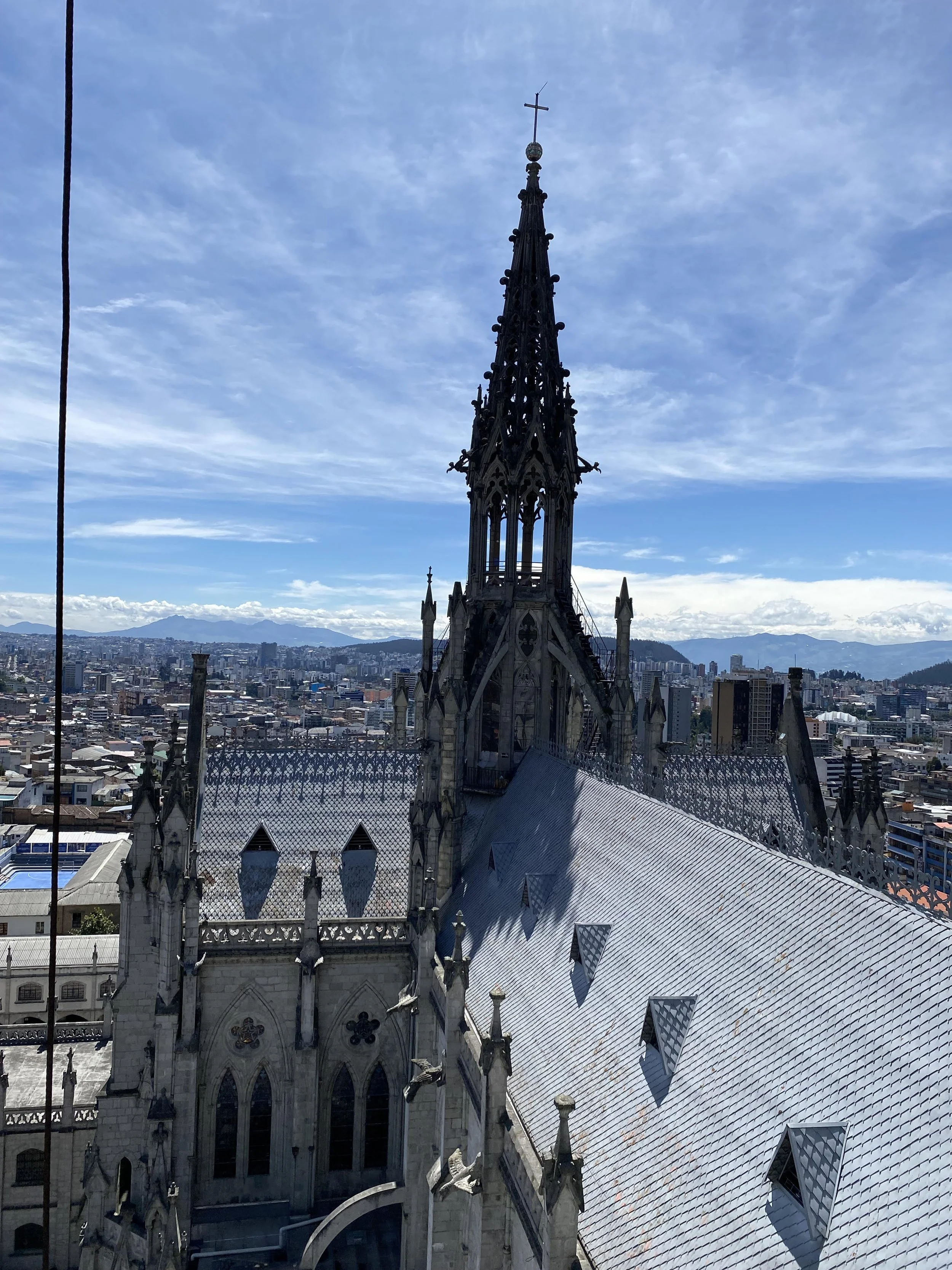
The Amazonas Theatre
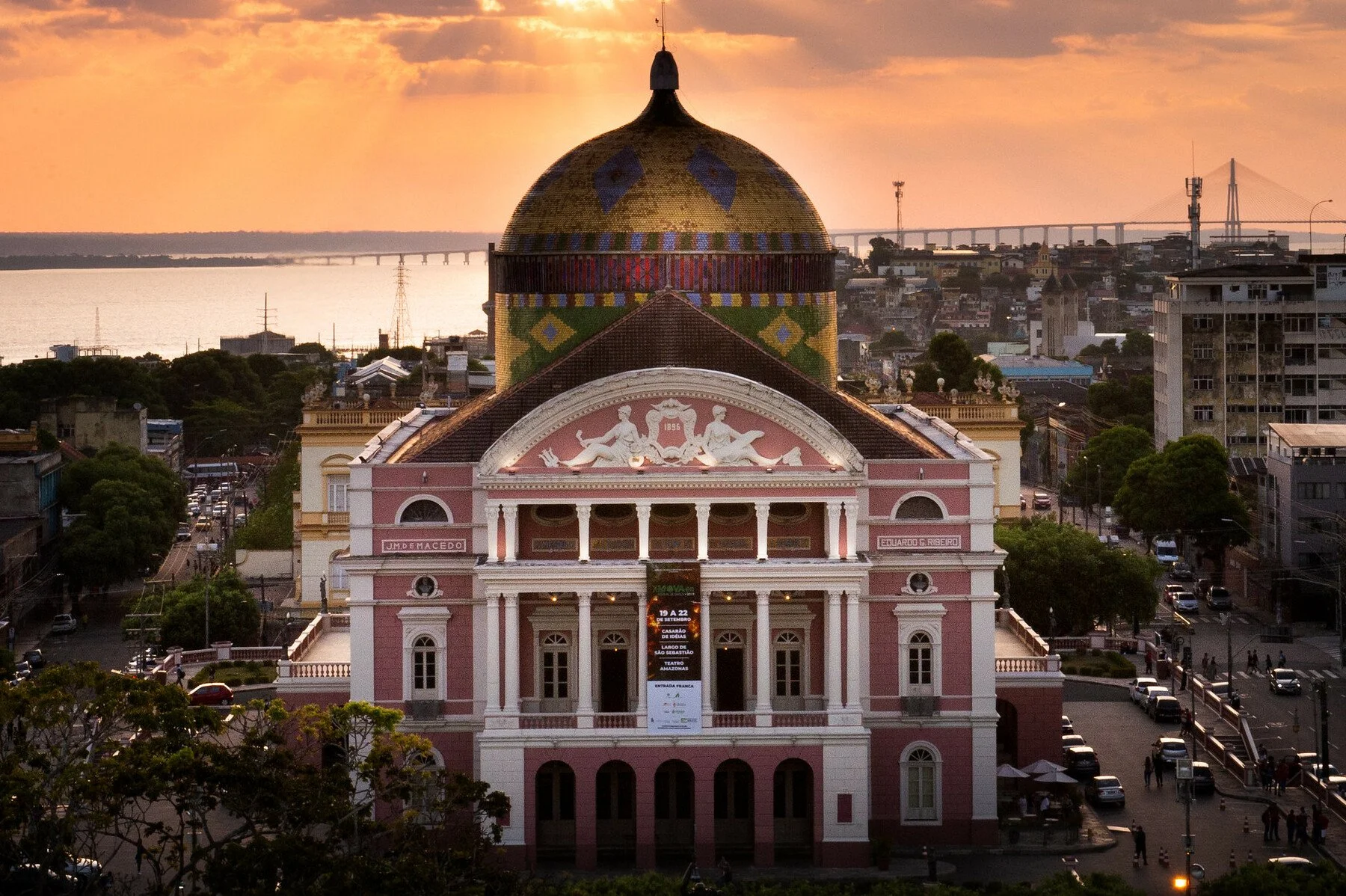
Amazon Theatre in Manaus. Rafael Zart. CC BY 2.0.
The Amazonas Theatre opened in 1897, carrying with it Manaus’ nickname “the Paris of the Tropics.” The opera theater was built almost entirely using materials imported from Europe, topped with a beautiful dome of Brazil’s flag.
At the time of its opening, the opera theater was in many ways a sign of all that was wrong in Manaus. It was built for Manaus’ uber-wealthy, using the money they made by exploiting the local population to harvest the rubber they sold abroad. Moreover, even the few who could enter the opera house valued the status it brought them more than the opera itself. The most expensive seats in the opera house were those that were the most visible to the public. Ironically, these spots actually had the worst view of the stage itself.
Today, the opera house, which remains a top opera house in the world, has come a long way from its imperialistic origins. Most performances at the theater are free, and those that aren’t are very affordable. The performances feature both local artists and acts from around the world. Moreover, to encourage all to join, a large screen is often set up in the plaza in front of the opera house, allowing as many people to see the performances as possible.
The Ports

Manaus market from the river. archer10 (Dennis). CC BY-SA 2.0.
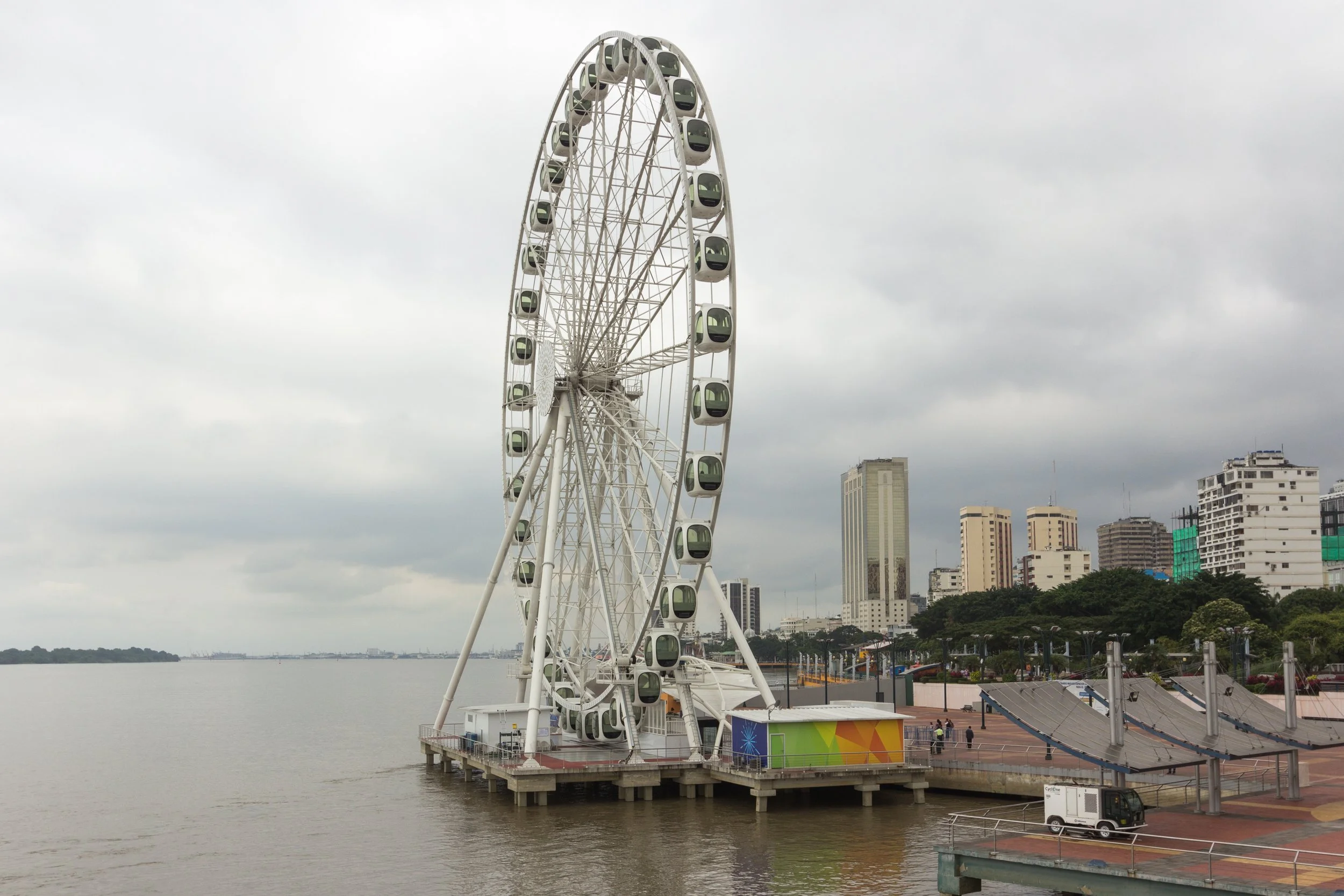
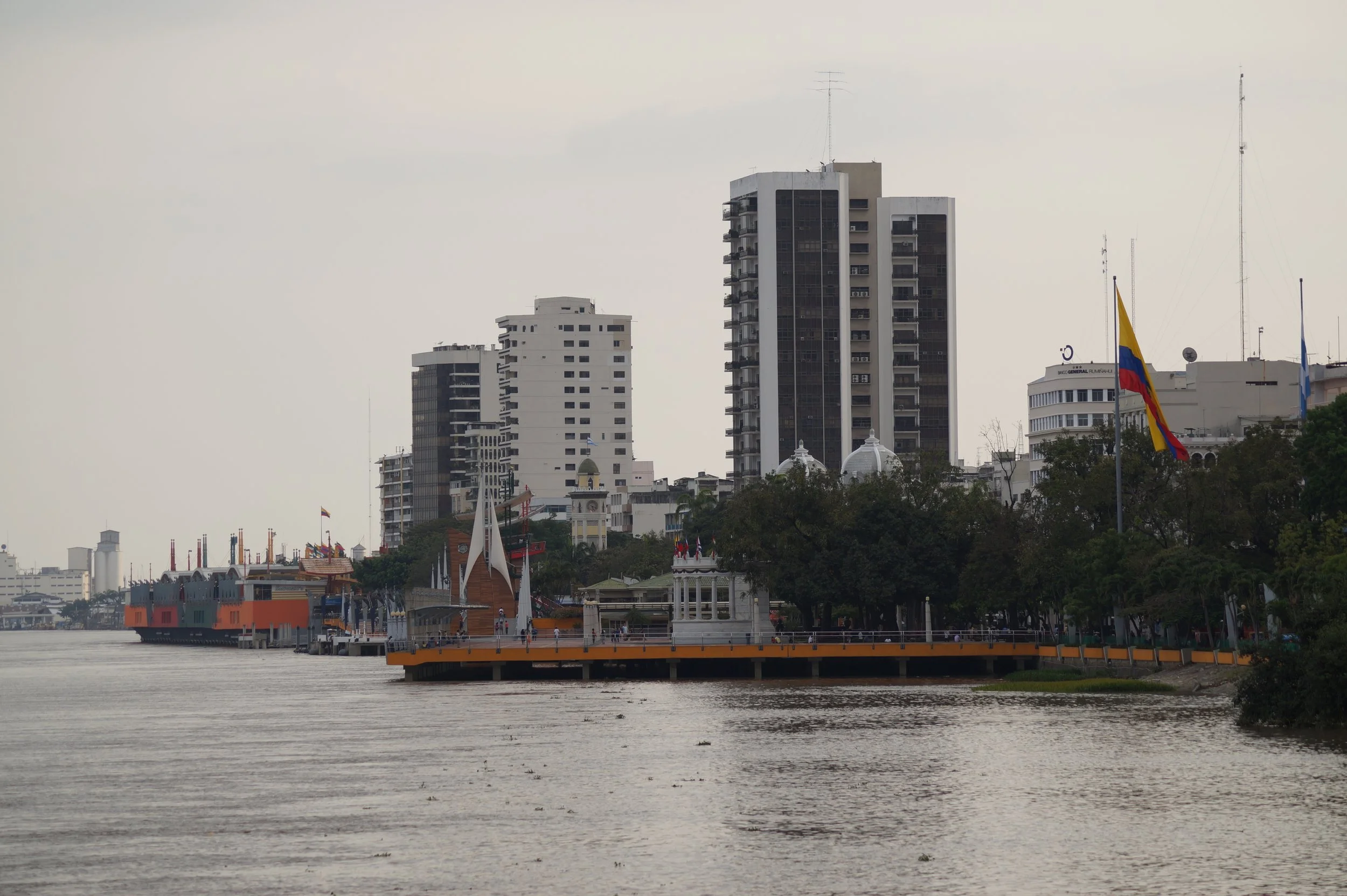
In many ways, the center of Manaus is its ports. Manaus is bordered by both the Rio Negro and the Amazon River, allowing for a large number of ships and ferries, both for tourists and locals. These boats can take you deeper into the Amazon or out of it entirely, allowing ocean freight ships to transport goods directly to Manaus.
In addition, much of Manaus’ culture and nature revolves around the ports. A little over a half hour by boat from Manaus’ ports is the meeting of the waters, a line where the Rio Negro meets the Amazon River. This line is clearly visible with the water looking different and being a clearly different temperature on either side of the line.
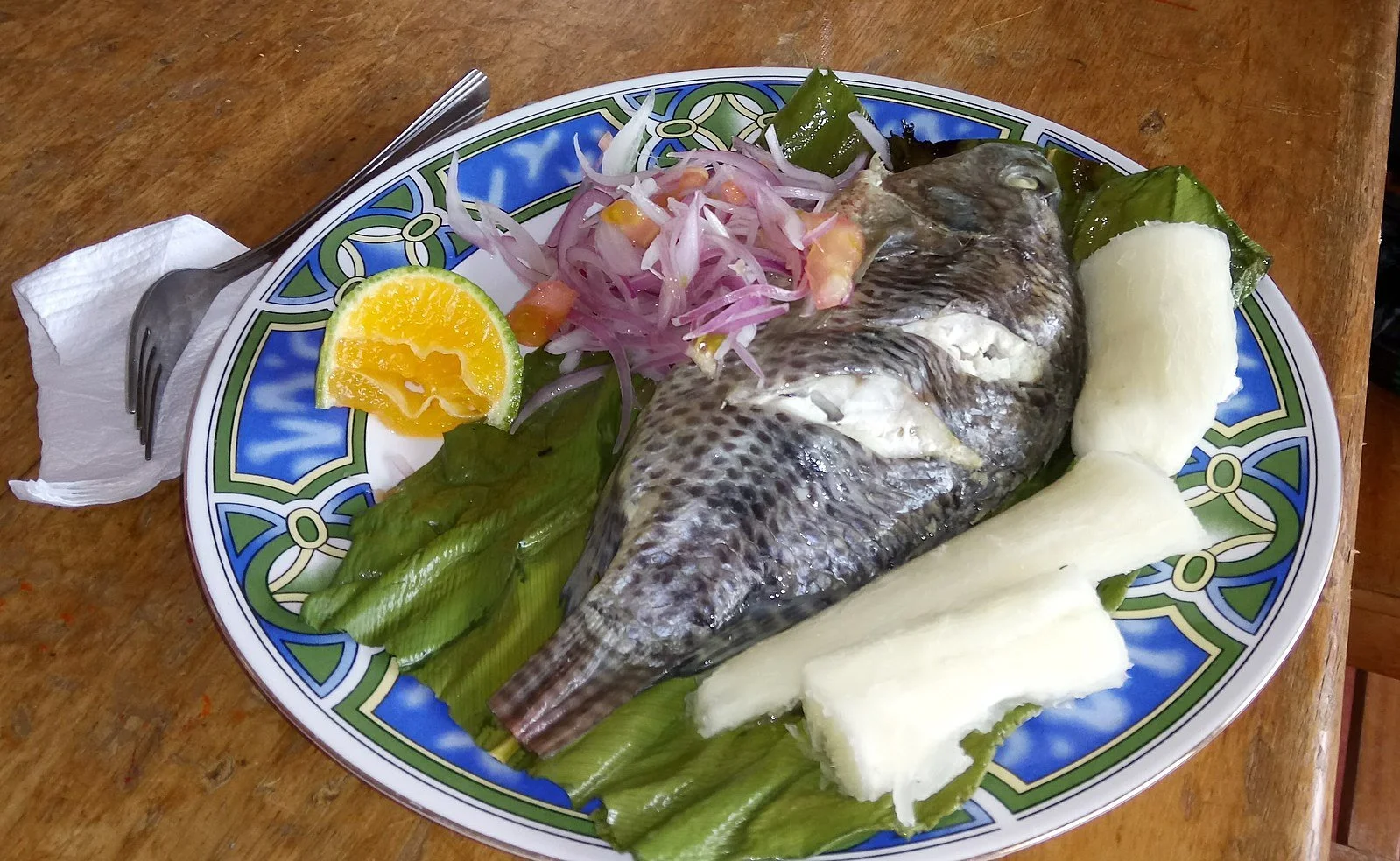
On land, about a five minute walk from Manaus’ largest port is an amazing market “Mercado Municipal” that, every morning, is filled with different fresh fish, including some of the biggest fish in the world. My personal favorite of these huge fish is Tambaqui, a cousin of the Piranha and one of the most delicious meals I’ve ever had. The fish is so big that its ribs are visible and alone big enough for a meal. In fact, I’d go even further to say that, to me at least, the ribs are the best part.
Amazon Rainforest
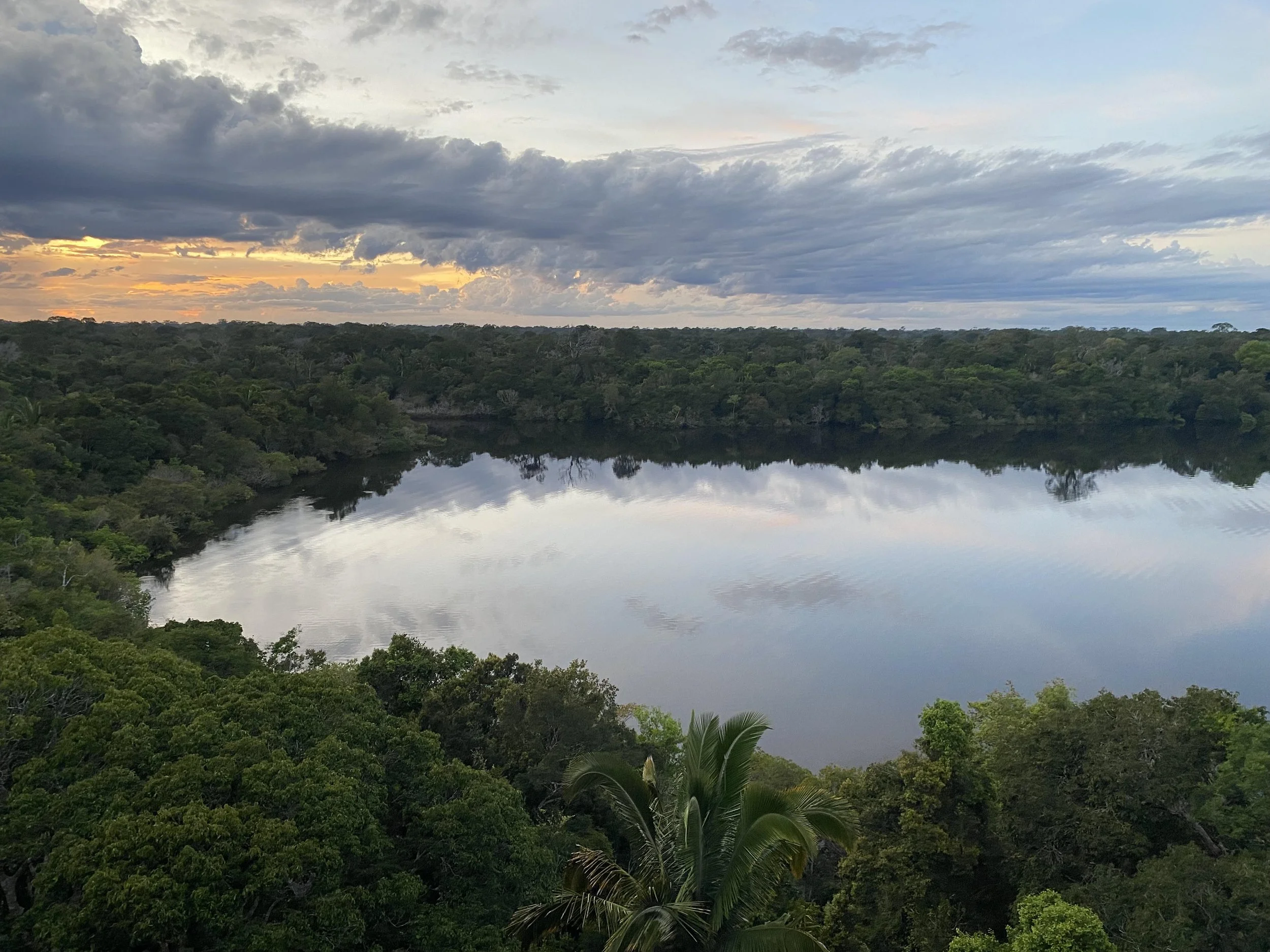
The Amazon Rainforest, a few hours from Manaus. Jeremy Giles
While Manaus itself is a big city, much of the land around it is still forested and filled with natural wonders. If you go an hour or two downstream on the Rio Negro, you will be greeted by intensely green trees on both sides which, in the right conditions, are perfectly reflected by the black water below you. In the wet season this water will rise several meters, causing many of the trees to jut out of the water itself. Just to note, climate change has caused the water to rise more now than in the past, however, the water rising multiple meters is a natural phenomenon and one that actually helps the trees survive.
When you’re surrounded by the trees you may start to be greeted by animals almost immediately. Howler and spider monkeys can be seen leaping from tree to tree, sometimes carrying their babies, and boas can be found curled up on branches. The water itself is dotted with caiman and different kinds of fish. The lucky will get to see pink river dolphins breaching the water’s surface.
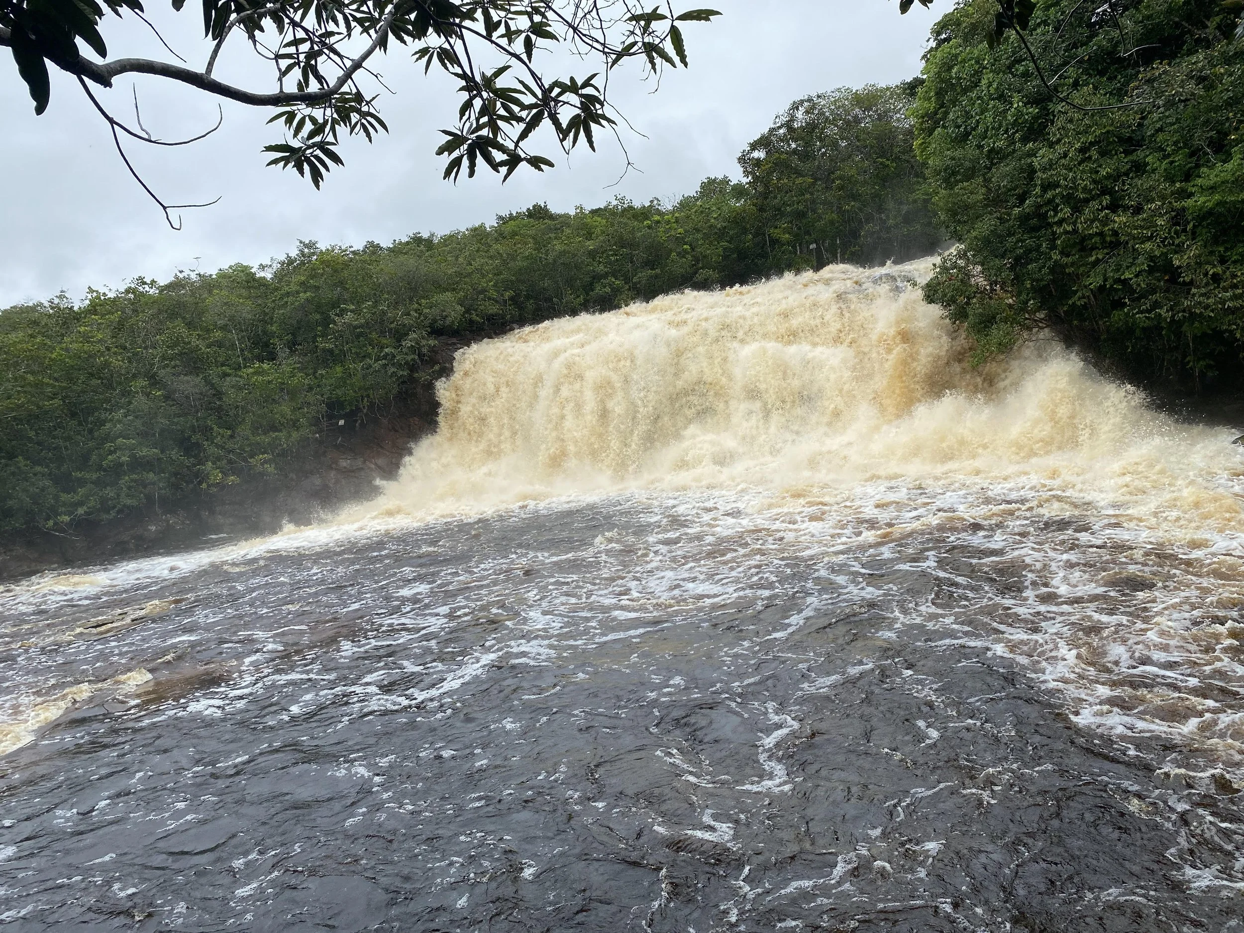
A waterfall at El Presidente Figueiredo. Jeremy Giles
There is plenty to see around Manaus and in Manaus on land as well. Most notably, about an hour and a half drive from Manaus are the Presidente Figueiredo waterfalls. These waterfalls are all stunning to look it, with fast moving water from the Rio Negro. However, they do vary in size. The first waterfall I was unable to approach because it was too big. The second one was small enough that I was able to climb behind it.
The Rio Negro, or Black River in English, gets its color from the decaying vegetation that falls into it. Beyond giving the river a wondrous dark hue, this decay causes the river to be relatively acidic. While it is perfectly okay for humans to swim in the water, the same cannot be said for mosquitoes, who almost completely avoid the river. This is amazing for Manaus, which borders the Rio Negro, as the city has relatively few mosquitos despite being in the middle of the Amazon.
The Technology Industry
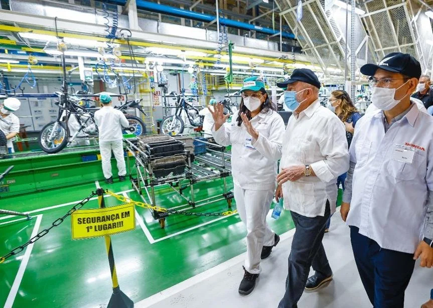
President Lula visiting a motorcycle factory in Manaus. Brasil em Mapas Brazilmaps. CC BY 2.0
While much of Manaus’ economy does revolve around the Amazon, the tech industry is actually one of the city’s largest. Brazil’s largest research and development Institute, the Sidia Institute of Science and Technology, is based in Manaus. Moreover, Manaus is known for its extensive motorcycle industry, producing over 1.4 million motorcycles in 2022.
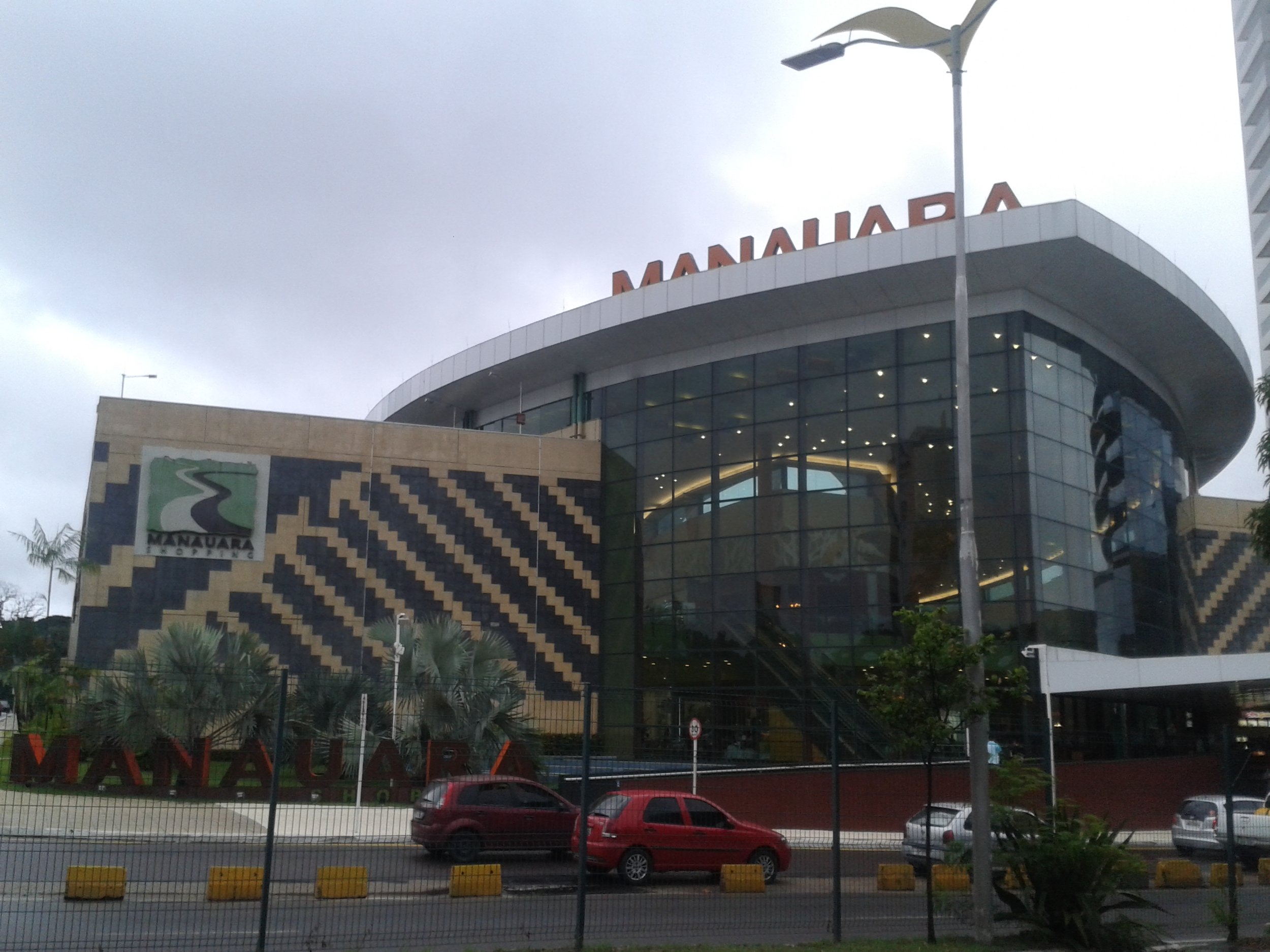
Manauara Shopping Center. Naldo Arruda. CC BY 2.0
I’ve spent the past few days trying to think of what, out of everything I saw, best represents Manaus. I believe I’ve found it, but, like everything else with the city, it’s not what you would expect.
The Manauara Shopping mall is a huge and beautiful structure, with big glass windows lining the outside, seeming to connect the building to the world beyond its walls. It has more than 200 stores, which range from those selling wooden crafts and acai from the Amazon to big brands on national and international levels. The moment I remember most is when, after exploring the first three levels of the mall, my family decided to visit the basement food court. Going down the escalator, we saw the same glass windows from the front of the building, except this time, they were facing inwards. We walked towards a door under the hulking glass and through it outside into open space. I looked up and spiraling branches blanketed with green leaves towered above me, almost blocking my view of the night sky. I breathed in the air deeply, letting go of a tension I didn’t know I was holding. Looking back, in this moment, in a rainforest in the middle of a mall, I truly experienced Manaus most.

Jeremy Giles
Jeremy is a Writing Seminars and International Studies major at Johns Hopkins University. He is an avid writer and the Co-Founder of Writers’ Warehouse, Johns Hopkins’ first creative writing group. He is an advocate for Indigenous rights, and studies how Indigenous philosophies can be used to help prevent climate change. Using his writing, he hopes to bring attention to underrepresented voices in today’s world.